Lot 1054
Boone, Daniel (1734-1820), Iconic American pioneer and frontiersman; forged the Wilderness Road through the Cumberland Gap from North Carolina and Tennessee into Kentucky.
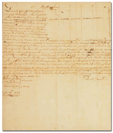
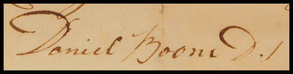
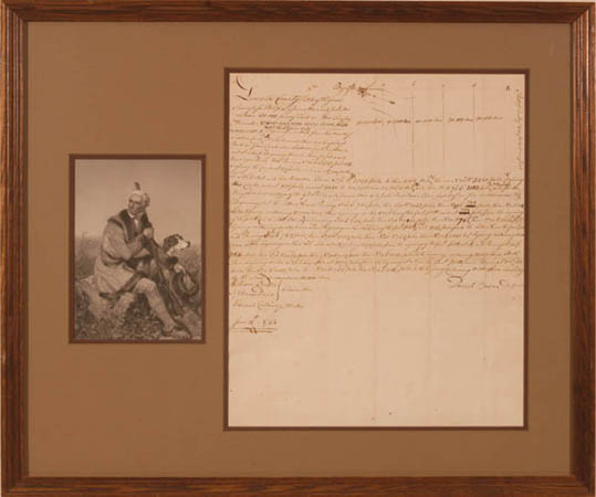
Manuscript document signed "Daniel Boone DS" (District Surveyor), 2/3 page, 12½" x 15�", June 18, 1784; document is a survey for a 50,000 acre tract of land in Lincoln County Virginia, for Philip and James Moor and John Donaldson, the property begins "one mile from the mouth of Laxton's Creek… I have lay'd it off in five subdivisions", with a drawing of the property and showing these subdivisions. Strong signature, Fine; professionally matted with a portrait and framed to an overall 24½" x 20½".
Estimate $10,000 - 15,000
Expertization: Kenneth Rendell COA.
Daniel Boone "made his way to Owsley County on a two-year hunt from 1769-1771. In 1784 he returned and surveyed some 50,000 acres for James Moore and Col. John Donelson. Boone used a huge rock at the mouth of Sexton's [Laxton's ~ed.] Creek, on which he carved his initials, as his starting point in these surveys. This rock, known as "Boone Rock" or "Goose Rock" is still there, located approximately nine miles south of Booneville on Highway 11 South. Boone loved this peaceful area and chose to own his own land in Owsley County." ~ from A Romantic History of Owsley County by Joyce Wilson.
|
| |
| Realized $11,000 |